A country with stunning scenery and relatively few tourists, Armenia is a hiker’s dream.
While the political situation in the region might be tense, the former Soviet republic of Armenia itself would appear to be relatively safe. The land border with Turkey is closed, and tourists are still warned to not travel within 5km of the border with Azerbaijan due to increased issues between the two countries that led to Azerbaijan taking over the largely Armenian enclave of Nagorno-Karabakh recently. Armenia also shares borders with Georgia and Iran.
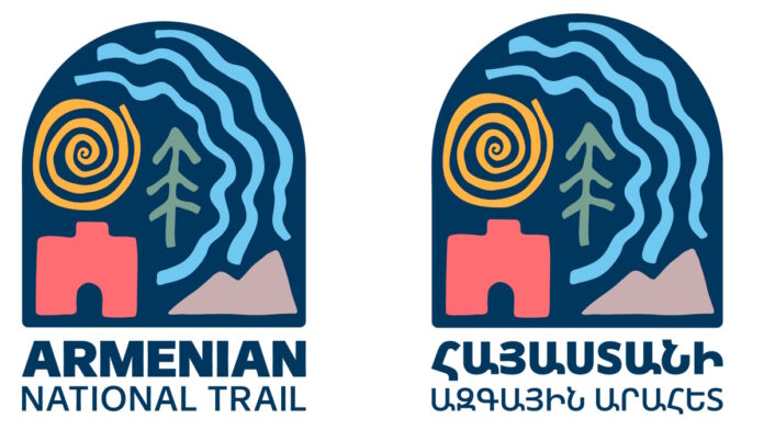
That aside, trails have been built since the announcement of the 954km Armenian National Trail (ANT) in late spring. Several new sections of the trail have been completed, and the official ANT logo in both English and Armenian has been revealed.
The government and HIKEArmenia hope the ANT will join the ranks of globally-renowned through-hikes.
The new logo has been designed as a tribute to the diverse elements found throughout Armenia. The blue archway resembles a doorway that pays homage to the Armenian sentiment “mer drnere misht bats en dzer araj” (“our doors are always open to you”). The colours and shapes within the archway are a blend of Armenian petroglyphs and symbolic illustrations.
The trail encompasses forests, waterways, landscapes, and mountains. It also passes through 108 communities. The elements represent the five regions of Lori, Tavush, Gegharkunik, Vayots Dzor, and Syunik.


